
Winter road maintenance, documented street by street
SnowManager gives municipalities road routes painted onto the real road network, live GPS coverage and a street history that shows every pass a vehicle made. For your own crews and your contractors, in one system.
Winter maintenance is judged on what you can prove
Clearing the roads is only half the job. The other half is knowing, and showing, what was done.
"Was my street cleared?"
Residents and politicians ask the morning after a storm. Without a record of every pass, the answer takes a round of phone calls.
Own crews and contractors
Several contractors and your own crews share one road network, each reporting in their own way, if at all.
Documentation for claims
When someone slips on a footpath or a car leaves the road, you need to show when that stretch was treated.
Routes nobody can drive from
Routes live in GIS files, spreadsheets and paper maps. New drivers learn them by riding along.
From road network to documented season
How a municipality works in SnowManager.
- 1
Load your roads
Your municipality's roads are loaded from open map data, so routes are built on the real road network.
- 2
Paint or import routes
Paint the roads each crew drives, or import the route files you already have.
- 3
Dispatch crews and contractors
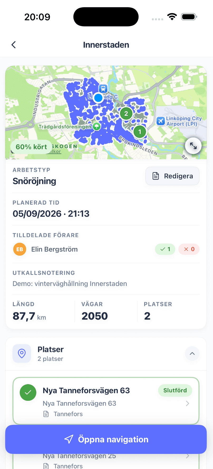
Send out a zone or a single route. Drivers follow it in the app, with GPS running.
- 4
Follow coverage and answer questions
Watch coverage build up live, and look up any street's history afterwards.
Road routes painted onto the real road network
Build a route by painting over the roads on the map. The roads are the route, so there are no stops to place and no guessing about where a route goes.
- Paint the roads a crew drives, inside your municipality border
- A road type for each stretch: 1 lane, 2+ lanes or walkway
- Draw your own roads where the map has none, such as private roads or new estates
- Plan who drives which route, and when, in a route schedule
Road route
Central North
68% driven
Bring the routes you already have
Import existing route files as GeoJSON. Lines are laid onto the road network automatically, and anything that lies on no road is kept exactly as drawn.
- Import GeoJSON exports from your GIS system
- Footpaths and cycle paths come in alongside the roads
- See what was matched and what was kept as drawn before you save
- Choose how far a line may lie from a road and still be matched
winter-routes-2026.geojson
Import road lines
216 lines imported: 212 laid onto the road network, 4 kept as drawn
See coverage as it happens
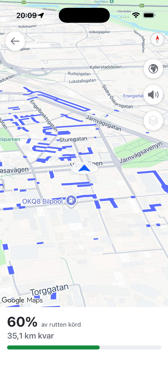
Every vehicle on a route sends its position from the driver app. The road it has driven turns green, and each route shows how much of it has been covered.
- A live map of every run under way, and how many units are out
- Coverage percentage for each road route
- Drivers give a reason, such as a blocked road, when they finish a route that is not fully driven
- Replay a finished run on the map
Answer "was my street cleared?" in seconds
Pick a street on the map and a period. SnowManager lists every pass a vehicle made over it: when it entered and left, which direction it drove and how much of the street it covered.
- Every pass over the street, from every run you are responsible for
- A playback slider through the whole period
- Gaps are shown where no vehicle was recording near the street
- Export the street history as documentation
Street history
Main Street
14 Jan 18:00 to 15 Jan 08:00
Passes
Own crews and contractors in one dispatch
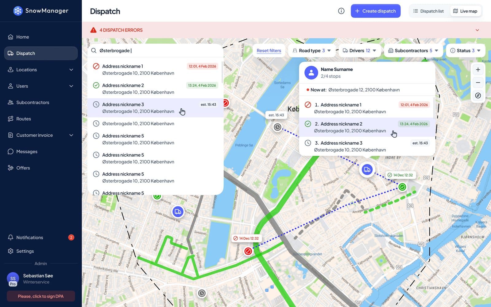
Send out a zone and the road routes inside it go with it. Contractors accept or decline their part, and you see which routes are started, completed or still waiting.
- A zone dispatch includes the road routes the zone covers
- Contractors accept or decline, and give a reason when they decline
- Progress per route and per contractor in one view
- A full log of every change made to the dispatch
Set up for a municipality
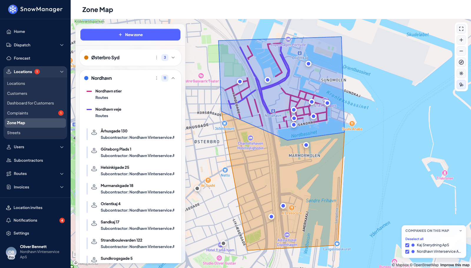
A municipality is not a contractor with customers to bill, and SnowManager knows the difference.
No billing screens
Set up as a municipality, SnowManager hides everything that exists to bill a customer. The dashboard shows operations instead of revenue.
One app for every driver
Your own crews and your contractors' drivers use the same app on iPhone and Android, with navigation and offline mode.
Weather in the dispatcher's view
A forecast with a dispatch recommendation, and watch points with your own thresholds for temperature and snowfall.
Roles that match the organisation
Admins, dispatchers and drivers each see what their role allows, and nothing more.
Two-factor login
Sign in with an authenticator app or SMS code, and require it for everyone in the organisation.
Certified and hosted in the EU
Operated under ISO/IEC 27001:2022, GDPR compliant, with data stored in European data centres.
More from SnowManager
GPS tracking and proof of service
Live map, automatic check-in at stops and an insurance report for every completed stop.
Driver app
Navigation, automatic check-in, photos and offline mode for every driver.
Invoicing
Invoice drafts from completed work, sent straight to your accounting system.
Subcontractors
Invite, dispatch and settle subcontractors from the same completed work.
See how it works for a municipality
Book a 30-minute demo of road routes, live coverage and street history.